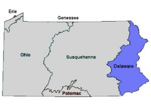
Delaware Watershed
- State Water Plan
- Delaware River Facts
- Major Tributaries (in Pennsylvania)
- Land Cover (Percent of Watershed)
- The Delaware Region at a Glance
- Regional Climate
Delaware River Facts
- Named for Lord De La Warr, a colonial governor of Jamestown.
- Basin Area:
- Total – 13,539 square miles
- Pennsylvania – 6,422 square miles
- Headwaters:
- West Branch: Mount Jefferson, Schoharie County, NY
- East Branch: Grand Gorge, Delaware County, NY
- Mouth: Delaware Bay, at Cape Henlopen, DE and Cape May, NJ
- Delaware River Length: 330 miles
Major Tributaries (in Pennsylvania)
- Brandywine Creek
- Crum Creek
- Lackawaxen River
- Lehigh River
- Neshaminy Creek
- Pennypack Creek
- Schuylkill River
- Tohickon Creek
Land Cover (Percent of Watershed)
| Forest | 48.3% |
| Agriculture (crop/pasture) | 26.8% |
| Developed | 19.1% |
| Wetlands | 3.0% |
| Open Water | 1.9% |
| Barren (rock/sand/clay) | <1% |
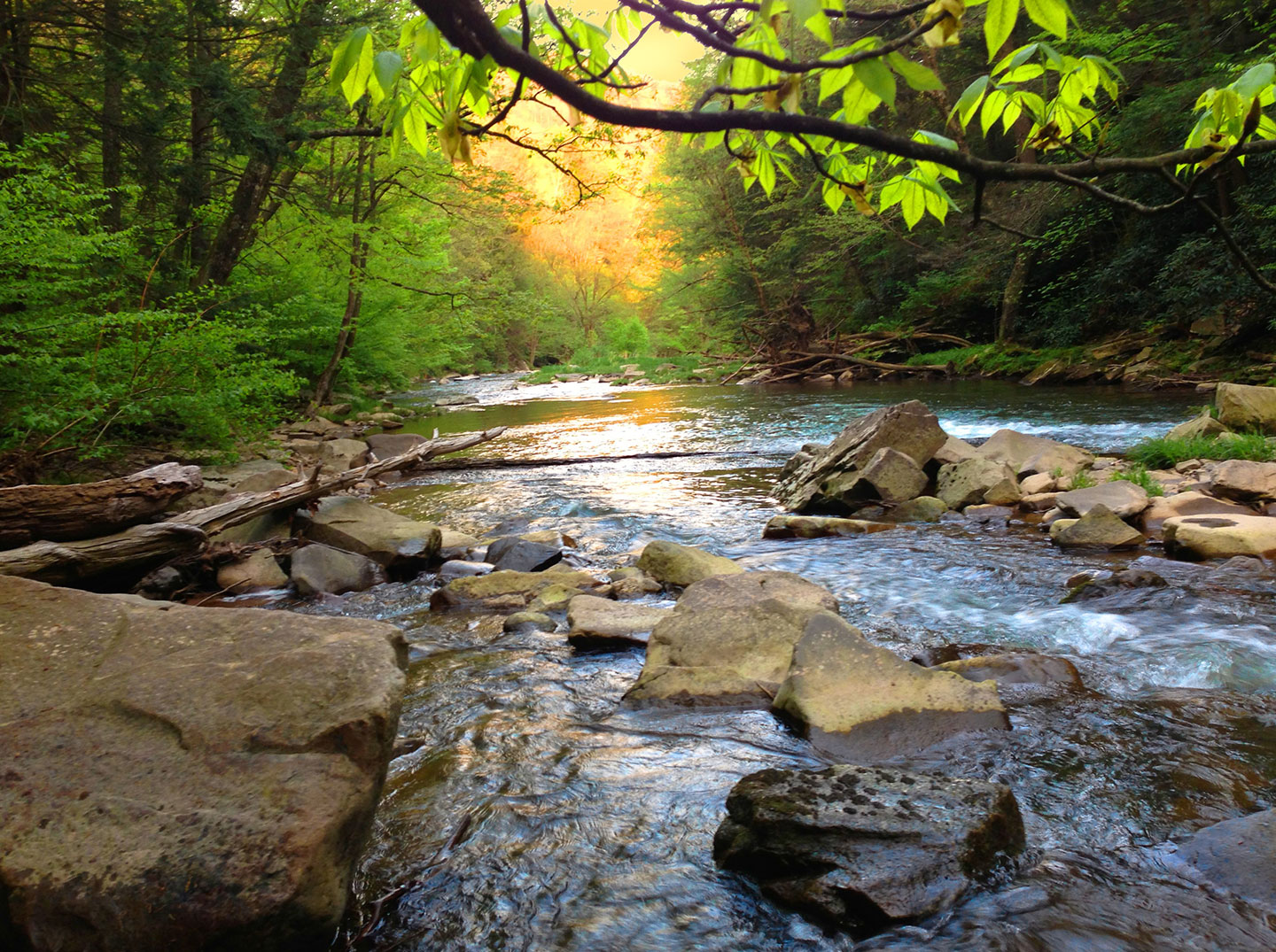
The Delaware Region at a Glance
The 330 miles that make up the Delaware River constitute the longest un-dammed river east of the Mississippi River.
Nicknamed “Penn’s River” for its importance as a major commerce route in colonial days, today the Delaware River remains an important transportation corridor to some of the largest U.S. ports.
The river starts at the confluence of the East and West Branches in Hancock, NY, serves as part of the Pennsylvania-New York border, all of the Pennsylvania/New Jersey border, and all of the New Jersey-Delaware border, before transitioning into the Delaware Estuary near Morrisville, PA.
The Delaware River’s entire basin encompasses 13,539 square miles over four states—Pennsylvania, New York, New Jersey and Delaware—and includes 782 square miles of the Delaware Bay.
The 6,422 square mile area of Pennsylvania that drains into the Delaware River is not only the largest contributor of the basin, but also accounts for half of the basin’s land area and 42 percent of Pennsylvania’s population.
Approximately 15 million people (5 percent of the U.S. population) rely on the Delaware Basin for drinking water and industrial use, including 7 million residents of New York City and northern New Jersey who live outside of the watershed. Although the Delaware River itself is free-flowing, some of its tributaries have been dammed to create reservoirs that provide New York City with about half of its potable water.
Of the 216 tributaries that flow into the Delaware, the two largest—the Schuylkill and Lehigh rivers—are found in Pennsylvania.
Regional Climate
The Delaware Basin has a humid continental climate pattern, marked by normal variations in weather from a series of high- and low- pressure systems. Mean minimum temperature increases from 9 °F in the north to 25 °F in the south. The mean maximum temperature ranges between 76 and 87 °F, with a majority of the region ranging between 84 and 85 °F. Average annual precipitation for most of the watershed ranges from 42 to 49 inches per year, with the southern two-thirds of the region receiving more precipitation than the northern third. Precipitation in the Delaware Basin is usually distributed evenly throughout the year. Variations in temperature and precipitation are a result of differences in elevation and exposure to wind direction within the watershed.
Source:
For further information visit: